 Geobru catalogue
Type of resources
Available actions
Topics
INSPIRE themes
Keywords
Contact for the resource
Provided by
Years
Formats
Representation types
Update frequencies
status
Service types
Scale
Resolution
-
Brussels-Capital Region: This service allows downloading the dataset (compliant with the data specifications of INSPIRE) "Surface Geology" of the Brussels-Capital Region of Brussels Environment.
-
Vue des UTG (unité technique et géographique) pour les PE
-

Study to analyse all available data on school mobility and draw conclusions on the functioning of School Travel Plans: what works well, what could be improved? The study produced interesting data analyses and useful recommendations that have since been put into practice.
-

This view service is maintained for Osiris backward compatibility. Please do not use for a new application.
-
This download service is maintained for Osiris backward compatibility. Please do not use for a new application.
-

Brussels-Capital Region : Brussels-Capital statistical areas are grouped to form the districts of monitoring. Monitoring the neighborhood is an urban observation tool to help track and understand the evolution of Brussels districts in different aspects (demographic, social, health, economy, housing, mobility, quality of life, participation, ... ) to improve the efficiency of urban policy and help guide public and private investment in urban renewal ...
-
Web Map Service for the INSPIRE datasets of Paradigm
-
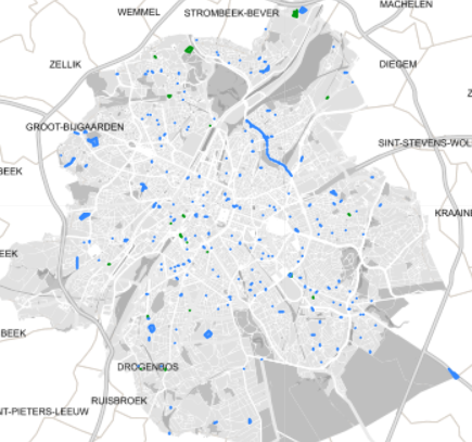
Spatial representation of building permits in the Brussels region
-
The "UrbIS - Contour lines" product represents the elevation of the Brussels region by means of contour lines with intervals of 0.5 metres. The dataset is freely downloadable as a zipped file.
-
This download service provides object-based access to urban planning data managed through NOVA over the territory of Brussels Region.